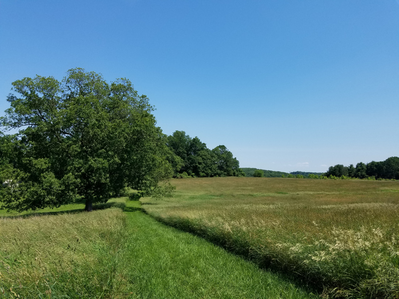
Peacedale Preserve, Landenberg PA
How to use this map:
-
 Green icon = Easy trail. Paved or even terraine, little to no incline.
 Orange icon = Moderate trail. May have uneven terrain and some inclines.
 Mauve icon = Challenging trail. Has uneven, unpaved terrain, steep inclines.
 Blue icon = Stone Run has not visited this site to collect data yet.
- Click the menu icon on the upper-left corner to display a list of all the locations.
- Click an item on the list or an icon on the map to show detailed information and photos of a location.
- Access this map on your smartphone with the Google Maps app, and utilize your phone's GPS for directions to each site.
Printables:
Other tools:
- Map My Run is an app that can track details about your workout, such as distance, elevation, and pace. Below are a few examples of workouts recorded on Map My Run:
- www.alltrails.com and www.traillink.com both provide information about other trails across the nation, including photographs and comments from others who have walked the trails.
- How to read trail blazes: Some of the trails listed above are marked with blazes; this link will teach you how to read them.


